 |
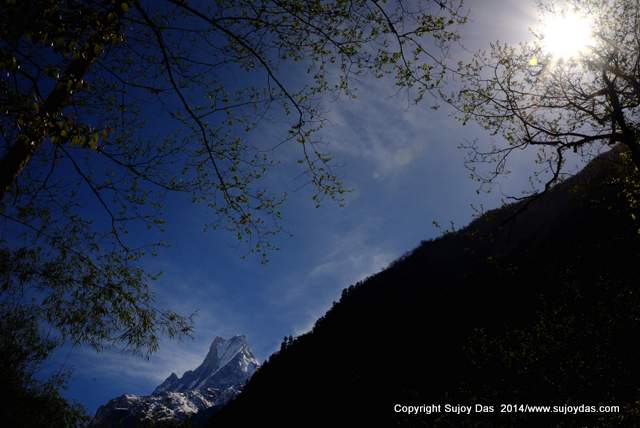
| One the trekking trail near the village of Dhampus |
The Fishtail Mountain of Nepal Macchapuchhare has not been climbed. Attempted in 1962 by a British team led by Jimmy Roberts, the climbers failed to make the summit. Soon after the Nepal Government put the mountain "out of bounds" and no further expeditions were permitted.
I first saw the mountains of the Nepal Himalaya from the lawns of the Crystal Hotel in Pokhara. It was December 1978 and in the grey light of a chilly dawn with my first and new SLR camera, I attempted to take some photographs. The garden was full of red poinsettia blossoms but in the pre-dawn light they looked dark crimson, almost black. And then behind them in that half light, there was the Fishtail mountain, Machhapuchhare, her razor sharp ridges slicing the inky blue sky. Next to her impossibly high were the Annapurnas and to the west peeking over the lower hills was Dhaulagiri. I have seen variations of this Himalayan vision in different incarnations all through the years, and it never fails to arouse a feeling of awe and amazement each and every time.
This essay shows the some of the moods of this iconic mountain:
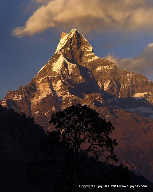 |
| Winter sunset Pothana |
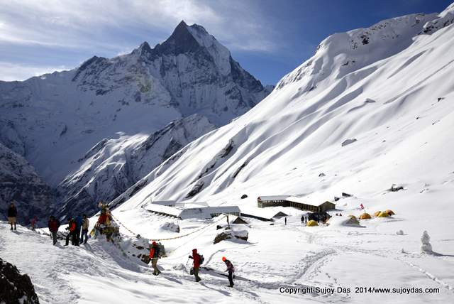 |
| Unexpected spring snowfall Annapurna Base Camp |
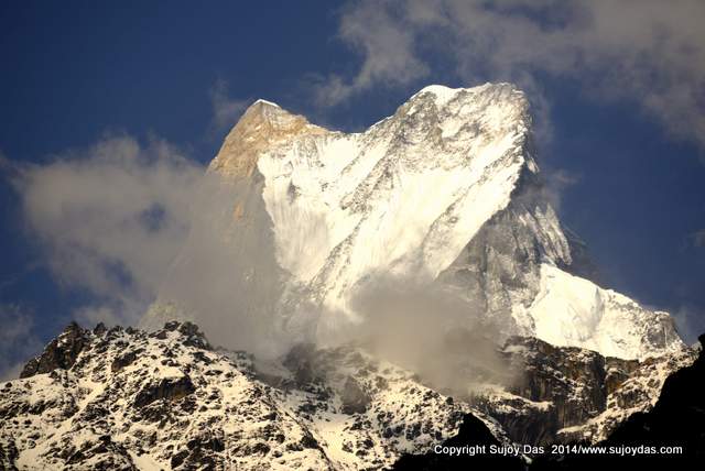 |
| Telephoto close up near Doban on the ABC trek |
 |
| On the trail between Upper Sinuwa and Bamboo |
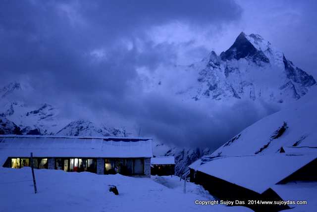 |
| Dusk Annapurna Base Camp |
 |
| Moon rise Macchpaucchare base camp |
For views like these join any of our Annapurna, Mustang, Poon Hill trek this year!
Visit
http://www.southcol.com/treks-nepal/ for more information.


